
Consumer App / Mapping
Dirtroads.io: every dirt road in America, mapped in your pocket
A progressive web app that puts every dirt and gravel road in the lower 48 on one map — dirt-first routing, 3D navigation, offline support, and no sign-up required. Designed, engineered, and operated by Smart Site Services.
dirtroads.io ↗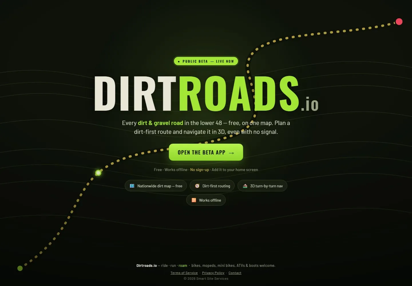
The challenge
Riders, overlanders, and backroad explorers had no single map of unpaved America — the data exists in fragments, but no consumer product made it usable, fast, and available where dirt roads actually are: outside cell coverage. The technical bar is steep: a nationwide tileset, instant startup, and navigation that keeps working with no signal.
The strategy
We engineered Dirtroads.io as an installable progressive web app with a custom nationwide dirt-road tileset served from edge object storage, a fast-start boot strategy that defers heavy mapping work until needed, serverless workers brokering live road data, and dirt-first routing with 3D turn-by-turn — all usable without creating an account.
Outcome
- Every dirt and gravel road in the lower 48, browsable on one map
- Installs like an app, starts fast, and works offline in the backcountry
- No-signup access — the map is the onboarding
- Live in public beta with subscription tiers rolling out
Dirtroads.io is what happens when the engineering bench gets pointed at a passion: a hard mapping problem, a national dataset, edge infrastructure, and a consumer-grade experience — shipped as a real product. It’s also proof of how far the modern web platform can go: app-store feel, no app store required.